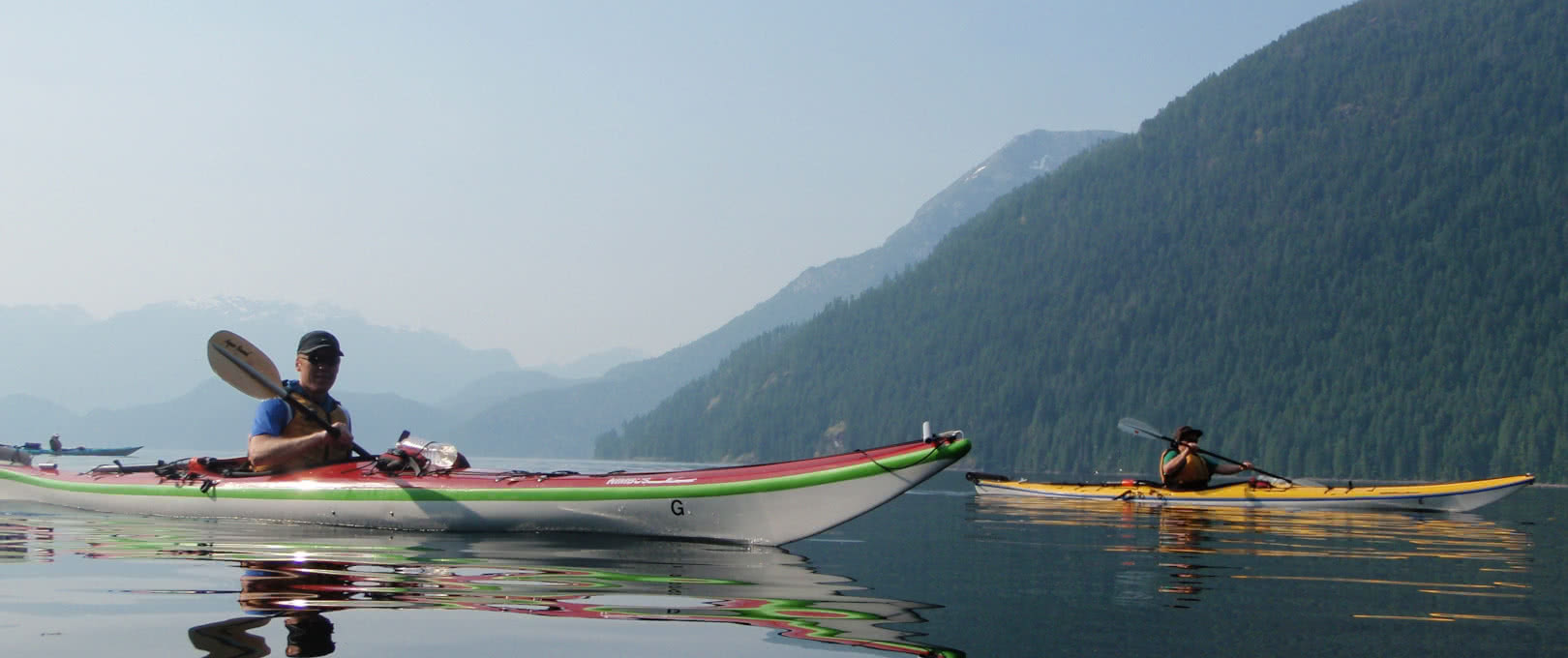
We love it when our customers express an interest in paddling beyond Desolation Sound – into the turquoise waters of Toba Inlet and Pryce Channel, up to the impressive waterfall of Teakerne Arm Provincial Park, or beneath the towering mountains of Homfray Channel.
Our guided sea kayak expeditions are a great way to experience this unique and memorable area with the safety and knowledge of our experienced guides, with all the logistics, meals, and environmental concerns taken care of by qualified professionals.
For those guests looking to rent kayaks and equipment to make a trip beyond Desolation Sound unguided, this can be a thrilling and empowering experience. However, the remote nature of such an expedition requires us to ask certain questions of our customers to ensure that they understand the real dangers of remote paddling, and the grave consequences that are possible if they undertake such a trip unprepared.
If you are considering an unguided trip to these remote areas, please read and consider the following issues before booking your trip.
Technical Skills
We always recommend that all of our renters – whether for 3 hours or a week or more – are familiar with wet-exits and self- & assisted-rescues before they go out on the water without a guide.
While it’s true that accidents can happen anywhere on the coast, the consequences of an accidental capsize have the potential to be much graver in the remote waterways north of Desolation Sound.
The beaches are steeper, making landfall impossible in most areas; the water is colder, making immersion a far more grave danger for risk of hypothermia; and the boat traffic is far more sparse, making your ability to flag down a passing kayaker or boater very unlikely should an accident befall you.
Therefore, the ability to rescue yourself during a capsize, or your friends in the same situation, can be the difference between an embarrassing and cold immersion and a life and death situation. Other considerations include an efficient paddling technique to avoid overuse injuries when far from base, and the ability to protect and prevent injuring the equipment to avoid being stranded should your kayak suddenly become damaged due to a rough landing.
For these reasons (and more outlined below) we insist that everyone that wishes to paddle this area unguided have completed a formal sea kayak lesson with emphasis on wet-exits, rescues, launching and landing, packing and unpacking gear, and intermediate strokes before renting our kayaks for your adventure.
Communication
Related to the above point, communication with the outside world is another critical issue to consider when paddling beyond Desolation Sound.
Once you paddle north of Desolation Sound’s borders, the fantastic cell reception that you enjoy at the Curme Islands drops from patchy to non-existent. In the Toba Inlet area it can be a multi-day paddle to find the nearest bar of cell reception.
A reliable secondary form of communication is critical when paddling in remote areas (and when paddling in general) in case you primary form of communication fails. Ideally, you will have multiple ways to communicate with the front-country.
Examples include VHF radio, SPOT or In-Reach satellite messaging services, and marine flares.
Hand in hand with the form of communication, of course, is the knowledge and ability to use it. A VHF radio for example requires a line-of-sight between the message maker and the one receiving the message. In mountainous country this may require the message to be relayed by intermediaries, and the knowledge of how to make the call.
Reading Weather & Accurate Navigation
Strong winds and poor weather in Desolation Sound can usually be mitigated by choosing to stay on the shore and have a beach day while the system passes.
However when expedition paddling, not only are the consequences of a bad decision more severe, accurate weather prediction by a knowledgable paddler can be used to make decisions regarding route and camp location, which can make the trip much safer and comfortable for everyone.
Possession and knowledge in the use of a VHF radio to check weather forecasts is imperative when paddling north of Desolation Sound. Not only this, but the ability to accurately interpret the information gathered and apply this to the practical concerns of each day is just as important. It is essential to make sound decisions concerning not just whether or not to paddle on a particular day, but to make future plans and paddling routes depending on the information gathered.
Hand in hand with this is the ability to read a chart and make decisions as to route and camp locations based on distance, possible campsites, affect of weather systems on the environment, and much more.
Localized Weather & Geographical Concerns
Toba Inlet is a long, deep inlet flanked by steep mountains that warm up considerably in the summer months. This forces the air in the mountains to rise, sucking the cooler air over the ocean up the inlet to replace it.
This phenomenon is called anatbatic winds, and the opposite can occur as the mountains cool in the evening, called katabatic winds
In the Toba area, the resulting wind waves can appear suddenly and reach heights of more than 6 feet on an otherwise calm day!
These winds are just one of many localized weather systems that are caused by the impressive geography of Toba Inlet and the Coast Mountains north of Desolation Sound. Anexperienced, knowledgable paddler will be familiar with such weather abnormalities and be prepared for their potential at all times.
Routes & Camping Options
The terrain north of Desolation Sound is increasingly rugged and vertical. As such, camping locations can be difficult to find, and are notoriously few and far between.
Additionally, and due to this, the guiding companies that run trips into these areas all use various forms of commercial tenures that they pay a fee for every year to the government to ensure that they will have access to the few areas possible for group camping.
As a result of this, we do not offer any trip planning services for the area beyond Desolation Sound apart from the usual basic local knowledge. In many cases, our office staff will not be expert paddlers and our guides that could give more useful information will be out guiding trips, and so we will be unable to offer anything concrete on the spot in any event.
Furthermore, we truly believe that anyone planning to visit these areas via kayak should be well-versed in the art of trip planning using proper chart-work and further research into the routes and dangers of paddling in every area they go. If we were to give basic, general information to our renters, it may create a false and dangerous impression that this area is one of relatively benign paddling conditions compared to comparable areas on the BC coast.
Summary
At the end of the day, if you are unsure of any of the above issues and your ability as an individual and a group after reading them, you really need to consider the following options:
- Sign up for a guided 7 day tour to experience this wonderful and remote part of the British Columbia coast, or
- Get the relevant training required for you to confidently and safely manage an extended kayaking trip in the wilderness.
There are many organizations throughout North America that can provide wonderful and potentially life-saving training in the above skills. In Canada, Paddle Canada and the Sea Kayak Guides Alliance of British Columbia are just two of the many organizations that can provide various levels of training for professionals and laymen alike.
Powell River Sea Kayak will ask questions to your group about the above issues when you make a booking if you intend to paddle north of Desolation Sound.
The safety of our clients is of primary importance to us, and while we don’t wish to scare anybody off kayaking or turn anybody away, we will refuse renting our equipment or suggest alternate routes for guests that we feel do not have adequate experience or knowledge to safely execute an extended wilderness trip in these remote conditions.
Thank you for your understanding, and safe paddling!


